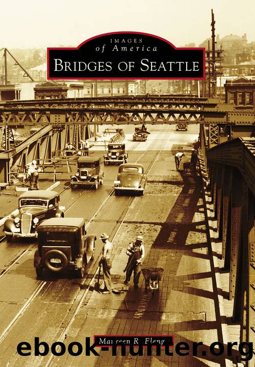
Bridges of Seattle by Elenga Maureen R.;
Author:Elenga, Maureen R.;
Language: eng
Format: epub
Tags: unknown
Publisher: Arcadia Publishing Inc.
Published: 2019-09-15T00:00:00+00:00
The engineering efforts involved in reshaping early-20th-century Seattle also forever altered the landscape south of downtown. By 1909, Harbor Island, then the worldâs largest man-made island, was being constructed at the Duwamish River delta, and the riverâs tidal flats were being filled to create buildable land. In this c. 1900 photograph, the Grant Street plank trestle is shown over the tidelands with West Seattle in the distance. (Washington State Digital Archives.)
The 1909 construction of Harbor Island divided the mouth of the Duwamish River into two channels called the East and West Waterways. That same year, the city formed the Duwamish Waterway Commission to sell bonds to fund rechanneling the river in effort to alleviate flooding and open the area for industrial and commercial use. The riverâs natural path was a series of oxbows meandering toward Elliott Bay. Work to straighten and dredge the Duwamish River began in 1913. By 1920, twenty million cubic feet of earth had been dredged from the river. The circuitous, 9-mile-long river was transformed into a straight, 50-foot-deep, 5-mile-long waterway capable of handling oceangoing vessels. This 1915 image shows the East Waterway and looks north toward Elliott Bay. The Smith Tower, completed one year before the photograph was taken, is visible poking above the horizon at far right. (SMA, item 739.)
Download
This site does not store any files on its server. We only index and link to content provided by other sites. Please contact the content providers to delete copyright contents if any and email us, we'll remove relevant links or contents immediately.
| Acoustics | Bridges |
| Earthwork Design | Environmental |
| Fire Science | Highway & Traffic |
| Hydrology | Remote Sensing |
| Seismic Design | Structural |
| Structural Dynamics | Surveying & Photogrammetry |
| Transportation |
Whiskies Galore by Ian Buxton(41525)
Introduction to Aircraft Design (Cambridge Aerospace Series) by John P. Fielding(32885)
Small Unmanned Fixed-wing Aircraft Design by Andrew J. Keane Andras Sobester James P. Scanlan & András Sóbester & James P. Scanlan(32570)
Craft Beer for the Homebrewer by Michael Agnew(17930)
Turbulence by E. J. Noyes(7695)
The Complete Stick Figure Physics Tutorials by Allen Sarah(7135)
Kaplan MCAT General Chemistry Review by Kaplan(6591)
The Thirst by Nesbo Jo(6432)
Bad Blood by John Carreyrou(6271)
Modelling of Convective Heat and Mass Transfer in Rotating Flows by Igor V. Shevchuk(6219)
Learning SQL by Alan Beaulieu(6031)
Weapons of Math Destruction by Cathy O'Neil(5825)
Man-made Catastrophes and Risk Information Concealment by Dmitry Chernov & Didier Sornette(5644)
Digital Minimalism by Cal Newport;(5388)
Life 3.0: Being Human in the Age of Artificial Intelligence by Tegmark Max(5182)
iGen by Jean M. Twenge(5158)
Secrets of Antigravity Propulsion: Tesla, UFOs, and Classified Aerospace Technology by Ph.D. Paul A. Laviolette(4984)
Design of Trajectory Optimization Approach for Space Maneuver Vehicle Skip Entry Problems by Runqi Chai & Al Savvaris & Antonios Tsourdos & Senchun Chai(4837)
Electronic Devices & Circuits by Jacob Millman & Christos C. Halkias(4743)
